Jakob:
Yesterday I stayed on the land slope, but to still practice astronomical navigation I made a lunch excursion to Järnäsklubb a few miles south of Umeå [map]. There the rocks are smooth and the horizon clear to the south – an ideal location for sextant exercises.
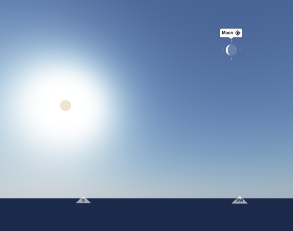
To get some new practice, I had spotted that the moon was below, a crescent a little to the right of the sun in the sky. I use timeanddate.com for this, excellently clear overviews of the positions of the celestial bodies.

I wanted to take advantage of the fact that both the sun and the moon were visible at the same time, because measuring two celestial bodies in different directions gives two intersecting lines with a fix - a position determination - where they meet. If you only measure the sun on a single occasion, you don't really get a position point, but the answer is just a line where you should be.
How did it go then? It was actually a bit difficult to get the moon altitude. It wasn't entirely easy to see where the lower edge of the crescent ended, so I didn't have high hopes for a good result.
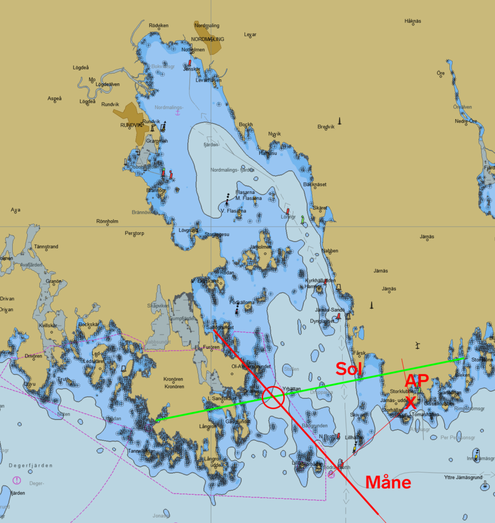
I did a long series of measurements and haven't counted them all but when I plotted the last sun altitude and against the last moon altitude it came out like this:

AP is my assumed position, nearest full minute of latitude and longitude from the cliff at Järnäsklubb.
I get the green line from calculated sun altitude, the red from calculated moon altitude. Where they intersect is my calculated position (the circle). The green line (sun altitude) is 0.7 distance minutes = 1.3 km from my actual observation point on the cliff near AP and the red line (moon altitude) is 2.2 distance minutes (4.1 km) from the cliff. In total, the error is thus under 2.5 distance minutes (4.6 km). The accuracy of the sun elevation is great, no wonder when it wasn't rocking underfoot. The moon height is good but could be better.
But overall I'm happy with my first real sextant fix, I got a firm fixed position that would do well for approaching unknown land from the sea.
